



Brian Civin | Chief Sales & Marketing Officer | AfriGIS | mail me |
As more people move to urban areas, cities must become more efficient, sustainable, and liveable. Smart city initiatives lead this shift by leveraging advanced technologies to transform urban life.
Smart city initiatives aim to make cities more functional, resilient and inclusive. Technologies used include data analytics, the Internet of Things (IoT) and Artificial Intelligence (AI). These tools improve city operations, reduce energy consumption, and enhance quality of life. Beyond efficiency, they promote environmental sustainability and community resilience. They help cities face challenges like climate change and natural disasters.
Rapid technological advancements make cities that “think” and “react” to real-time data feasible. However, smart cities face challenges and misconceptions that hinder full implementation of this vision.
Geospatial data and urban planning
Geospatial data has long been a cornerstone of urban planning, helping cities optimise land use, plan infrastructure and assess risks. Traditional urban planning depends on geospatial data for strategic decisions.
Smart cities build on geospatial data by integrating data-driven technologies into urban life. Geospatial data provides essential insights for understanding and managing spatial aspects of urban environments. Mapping, analysing, and visualising infrastructure elements improve land use, transportation networks, utilities, and environmental features. This helps cities allocate resources more effectively and create sustainable urban layouts. Smart city planning uses geospatial data to optimise energy grids, water systems, and transport routes. This integration supports efficient resource management and real-time monitoring of city services.
Geospatial insights are critical for emergency response and strategic urban planning. These insights also enhance decision-making, making cities responsive and resilient. This helps cities meet the complex needs of their residents effectively.
Smart city projects: examples around the world
Several ambitious smart city projects illustrate the impact of integrating technology into urban design. Saudi Arabia’s NEOM project, for instance, spans 26,500 square kilometres and features innovative, renewable-powered infrastructure such as “The Line,” a 170-kilometer linear city without cars. NEOM’s use of remote sensors to monitor and manage infrastructure in real time maximises efficiency and safety by enabling immediate responses to issues as minor as a streetlamp outage.
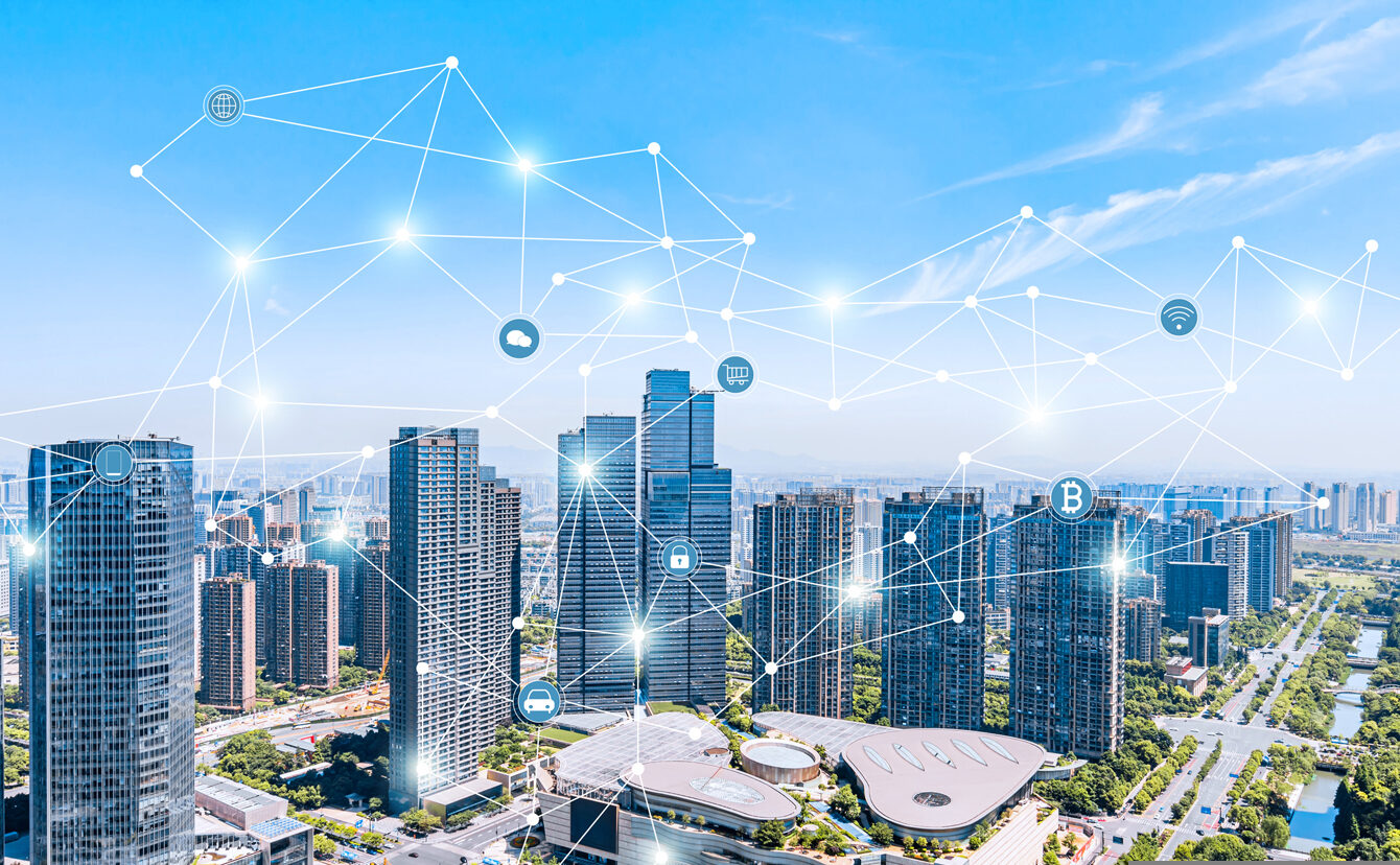

In these smart cities, automation is a significant benefit, reducing the need for human intervention in routine tasks. For example, smart technology can detect a broken streetlight or a power outage and notify repair teams automatically, improving service efficiency.
Smart cities also have the potential to enhance resilience against climate change and natural disasters. Through accurate data collection and real-time monitoring, cities can identify risk patterns and prepare for extreme weather events.
In a smart city, sensors might alert emergency services if rainfall in a certain area indicates the potential for flooding, allowing responders to act before disasters escalate. In critical facilities like hospitals, technology that detects power outages and triggers immediate responses can be lifesaving.
Ensuring equity, inclusivity, and privacy
Equity and inclusivity are central to the development of smart cities. Automated data collection provides objective insights, making it easier to identify disparities and support equitable planning. However, as smart cities become more connected, some people have raised concerns about data privacy and security.
While sensors in cities offer new insights, they present similar privacy challenges to using smartphones and other digital devices. The real challenge lies in ensuring that data is handled responsibly and securely.
Overcoming financial challenges in Africa
Financial limitations are a major barrier to smart city development in many regions, particularly in Africa.
In countries like South Africa, cities must balance the need for immediate social services with long-term investments in smart infrastructure. Although technology is becoming more affordable, implementing it on a large scale remains costly.
Despite these challenges, African cities have made notable strides. Kigali, Rwanda, for example, has launched Vision City, a planned area with smart waste management, sustainable energy solutions, and efficient public transportation.
Similarly, Nigeria’s Eko Atlantic, built on reclaimed land off Lagos’s coast, aims to be a financial hub with smart infrastructure, including flood control and sustainable energy systems. These projects show that even with limited resources, African cities can effectively leverage technology to improve residents’ quality of life.
The future of smart cities
As technology evolves, so will the definition of a smart city. What we consider a smart city today may change significantly in just a few years as both technology and urban needs progress. Successful smart cities are ultimately those that focus on improving quality of life for all residents through efficient resource management, enhanced resilience, and inclusivity.
Through careful planning, thoughtful investment, and a commitment to equitable and responsible technology use, the potential benefits of smart cities are vast and far-reaching.
Related FAQs: Geospatial smart city solutions
Q: What is the role of GIS technology in smart city development?
A: GIS technologies play a crucial role in smart city development by providing tools for data analysis, visualisation and management solutions, which help city planners make informed decisions to create smarter and more sustainable urban environments.
Q: How can cities use geospatial data to enhance urban planning?
A: Cities can use geospatial data to analyse spatial patterns, monitor environmental impact and visualise trends, allowing for better planning and decision-making in the development of sustainable smart cities.
Q: What are some examples of geospatial smart city solutions?
A: Examples of geospatial smart city solutions that are utilised in smart cities include remote sensing for environmental monitoring, GIS for traffic management and real-time information systems that aid in emergency response and resource allocation.
Q: How does geospatial technology help in managing urban infrastructure?
A: Geospatial technology helps manage urban infrastructure by providing detailed maps and data visualisation, enabling city planners to assess the condition of infrastructure, plan maintenance activities and optimise resource allocation effectively.
Q: What are the benefits of using smart city GIS?
A: The benefits of using smart city GIS include improved data analysis capabilities, enhanced collaboration among city departments, better resource management and the ability to create more resilient urban environments that can adapt to future challenges.
Q: Can Google Maps be considered a part of geospatial technology for smart cities?
A: Yes, Google Maps is an example of geospatial technology that cities can use to provide real-time information about traffic, public transportation and points of interest, which is essential for enhancing urban mobility and accessibility.
Q: How do smart cities leverage real-time information from geospatial technologies?
A: Smart cities leverage real-time information from geospatial technologies to monitor urban dynamics, respond to emergencies promptly and provide citizens with up-to-date information on public services and transportation options, ultimately improving quality of life.
Q: What is the future of cities with the integration of geospatial technologies?
A: The future of cities with the integration of geospatial technologies looks promising, as these technologies will enable more efficient urban management, enhanced citizen engagement and the development of sustainable smart cities that can adapt to changing conditions.
Q: In what ways can geospatial technology aid in environmental sustainability?
A: Geospatial technology aids in environmental sustainability by enabling better monitoring of natural resources, analysing land use patterns, assessing the environmental impact of urban development and facilitating the implementation of green infrastructure solutions.